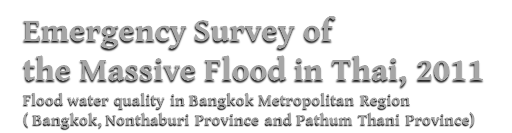

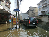
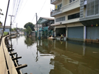
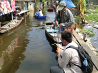
Water sample collection at the flood-attacking areas of Bang Kruai District, Nonthaburi Province.
- Survey member:
- Honda, Kasetsart University students
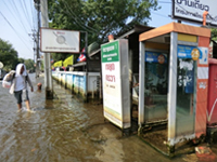 Collected water samples from 4 points in Bang Kruai District (residential area), Nonthaburi Province that has been affected by the floods.

The survey sites and water quality information (Coliforms: indicators for fecal contamination) can be
viewed on above map.
※When clicking a marker on a survey site, the pictures of the survey site can be visualized. If an item
of water quality appeared in the list box at the bottom left of the map is selected, then click at “Show”
button, the page will jump to water quality information at the selected site. And when clicking a symbol
inside the map in the water quality information page, the results of water quality analysis at the site will
be shown.
*The camera failed down into water. Most of the image data have been lost
This is a residential area and was filled with flood water for more than 3 weeks. The highest number of coliforms was found at Point A, which is considered as a dense traffic area. The number of coliforms at this point was found to be higher than the number at Point D, which is highly populated. Although water level at Point A begins to reduce, water quality at this station is hardly to be improved by dilution. Besides Point A, coliform numbers were found to be less than 10^2 CFU/mL. In addition, there was no obvious correlation between DO concentrations and coliform numbers.
Point A: The traffic was fairly dense here.
Point B
Point C
Point D: This area is a residential area.